Køge Å Path
Køge Å Path is a 22 km cycling and walking gravel path. It starts on Køge Ridge, following Køge Å from Køge to Humleore and on to Borup Station.
A journey through nature and history
Køge Å (or creek in English) starts as a small brook south of the moor Regnemarks Mose near Borup, falling into Køge Bay at a width of 10 metres. The path provides an insight into the natural and cultural history connected with the area to be seen en route.
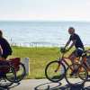
Minor stretches separate the walking path from the cycling path, each with their own course. The path is marked by wooden poles or blue metal signs and is disabled friendly in a section of its course.
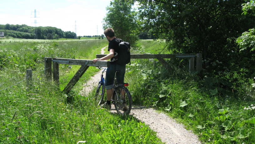
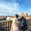
Photo:VisitKøge
The path is part of an overall plan for nature management of the area covering Køge Creek and Køge Ridge. The purpose is to boost the values of geology and landscape, improve conditions for plants and animals and to create better access.
If your bring your dog, remember they must be kept on a leash.
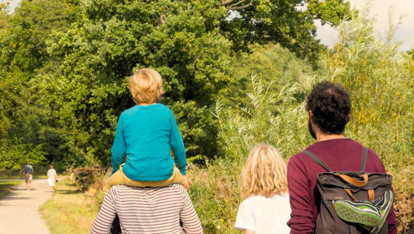
Photo:VisitKøge
A map of the path is available, in the form of 3 folders. Physical copies of the folders are also available - until out of stock – at VisitKøge. View them digitally down below (in Danish).
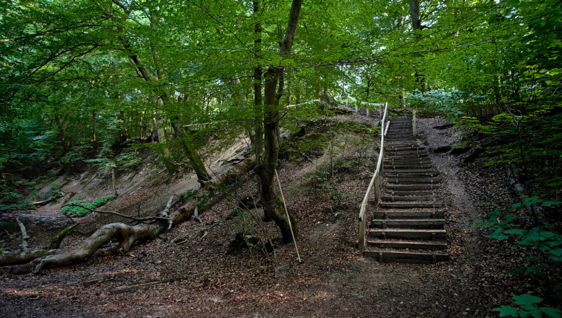
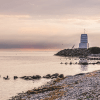
Photo:VisitKøge
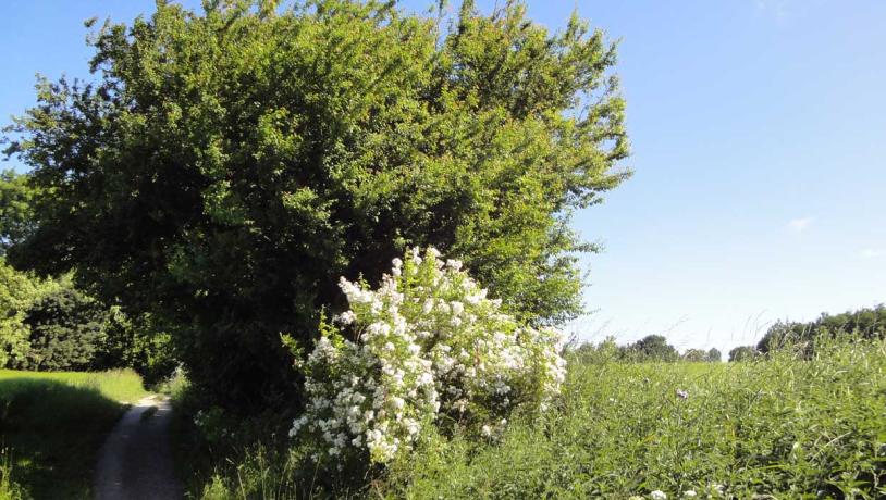
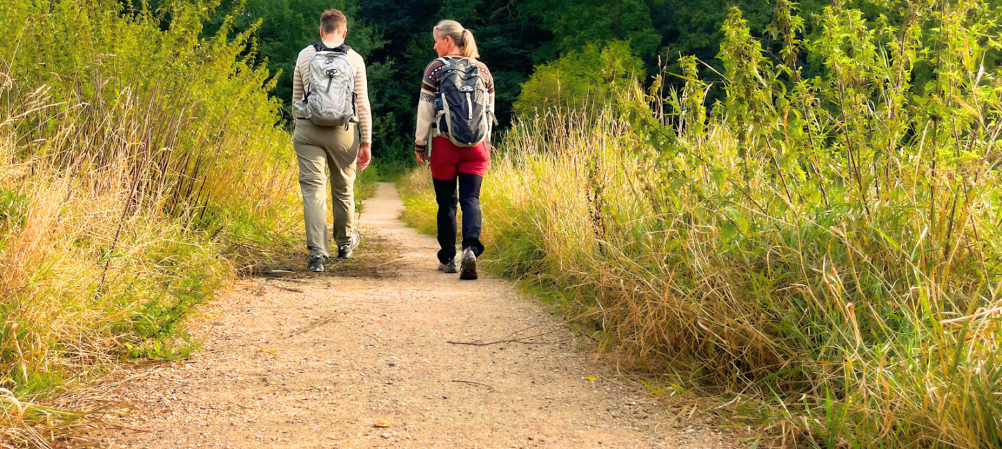
Photo:VisitKøge

Photo:VisitKøge
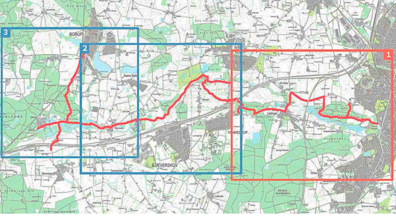
Photo:VisitKøge